 vesseltracker.com
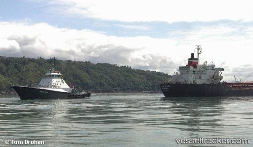
Vessel Garth Foss IMO: 9070266, MMSI: 366767140 Tug
UTC, 48.95987, -123.16159, course: 289, speed: 12.2
UTC, 48.74837, -122.78352, course: 299, speed: 11.8
2026-03-24 21:37:47 UTC, 48.62109, -122.54395, course: 355, speed: 2.1
Live Vessel Garth Foss Analytics (details, animations, etc.)
Live AIS position: UTC. Near Anacortes), updated 2026-03-24 21:37:47 UTC.Find the position of the vessel Garth Foss on the map. The latter are known coordinates and path.
marine traffic ship tracker show on live map
The current position of vessel Garth Foss is 48.62109 lat / -122.54395 lng. Updated: 2026-03-24 21:37:47 UTCCurrently sailing under the flag of USA
Garth Foss built in 1994 year
Deadweight:
350 tDetails:
Last coordinates of the vessel:
UTC, 48.87695, -122.82635, course: 287, speed: 8.4UTC, 48.95987, -123.16159, course: 289, speed: 12.2
UTC, 48.74837, -122.78352, course: 299, speed: 11.8
2026-03-24 21:37:47 UTC, 48.62109, -122.54395, course: 355, speed: 2.1