 vesseltracker.com
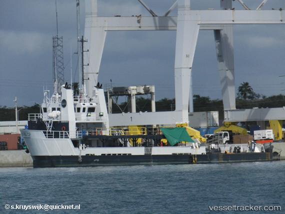
Vessel Go Navigator IMO: 9566887, MMSI: 367550000 Offshore Tug Supply Ship
UTC, 32.60628, -117.70119, course: 104, speed: 4.8
UTC, 32.60333, -117.72333, course: -1, speed: 3
2026-02-27 01:22:03 UTC, 32.58667, -117.68833, course: -1, speed: 0
Live AIS position:
UTC. 24 nm SW of Ocean Beach),
updated 2026-02-27 01:22:03 UTC.
Find the position of the vessel Go Navigator on the map. The latter are known coordinates and path.
marine traffic ship tracker show on live map
The current position of vessel Go Navigator is 32.58667 lat / -117.68833 lng. Updated: 2026-02-27 01:22:03 UTCCurrently sailing under the flag of USA
Go Navigator built in 2009 year
Deadweight:
659 tDetails:
Last coordinates of the vessel:
UTC, 32.55667, -117.60333, course: -1, speed: 2UTC, 32.60628, -117.70119, course: 104, speed: 4.8
UTC, 32.60333, -117.72333, course: -1, speed: 3
2026-02-27 01:22:03 UTC, 32.58667, -117.68833, course: -1, speed: 0