 vesseltracker.com
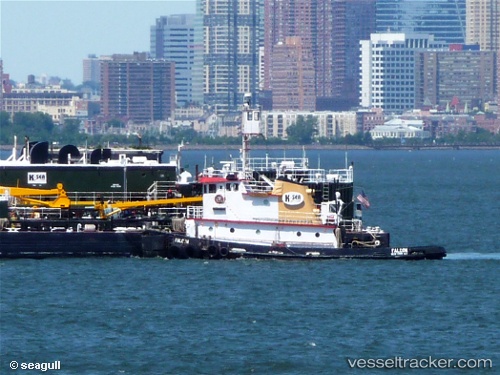
Vessel Carolina Coast IMO: 7042863, MMSI: 367656790 Tug
UTC, 17.94667, -66.22500, course: -1, speed: 0
UTC, 17.94667, -66.22500, course: -1, speed: 0
2026-03-24 13:57:42 UTC, 17.94667, -66.22500, course: -1, speed: 0
Live Vessel Carolina Coast Analytics (details, animations, etc.)
Live AIS position: UTC. Near Aguirre), updated 2026-03-24 13:57:42 UTC.Find the position of the vessel Carolina Coast on the map. The latter are known coordinates and path.
marine traffic ship tracker show on live map
The current position of vessel Carolina Coast is 17.94667 lat / -66.22500 lng. Updated: 2026-03-24 13:57:42 UTCCurrently sailing under the flag of USA
Carolina Coast built in 1970 year
Details:
Last coordinates of the vessel:
UTC, 17.94667, -66.22500, course: -1, speed: 0UTC, 17.94667, -66.22500, course: -1, speed: 0
UTC, 17.94667, -66.22500, course: -1, speed: 0
2026-03-24 13:57:42 UTC, 17.94667, -66.22500, course: -1, speed: 0