 vesseltracker.com
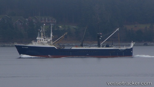
Vessel Seafisher IMO: 7433907, MMSI: 367658000 Fishing Vessel
UTC, 54.36249, -165.92220, course: 44, speed: 9.4
UTC, 54.63025, -165.52167, course: 48, speed: 11.3
2026-02-26 10:15:55 UTC, 54.89390, -165.13969, course: 39, speed: 9
Live AIS position:
UTC. 51 nm NE of Akutan),
updated 2026-02-26 10:15:55 UTC.
Find the position of the vessel Seafisher on the map. The latter are known coordinates and path.
marine traffic ship tracker show on live map
The current position of vessel Seafisher is 54.89390 lat / -165.13969 lng. Updated: 2026-02-26 10:15:55 UTCDetails:
Last coordinates of the vessel:
UTC, 54.06053, -166.38042, course: 45, speed: 10.8UTC, 54.36249, -165.92220, course: 44, speed: 9.4
UTC, 54.63025, -165.52167, course: 48, speed: 11.3
2026-02-26 10:15:55 UTC, 54.89390, -165.13969, course: 39, speed: 9