 vesseltracker.com
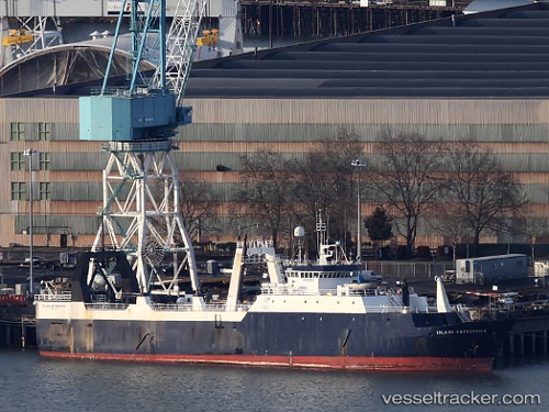
Vessel Island Enterprise IMO: 7710721, MMSI: 368037000 Fishing Vessel
UTC, 54.96500, -165.22166, course: -1, speed: 12
UTC, 55.20667, -164.33667, course: -1, speed: 7
2026-02-03 05:31:22 UTC, 55.21670, -164.35931, course: 107, speed: 3.7
Live AIS position:
UTC. 67 nm W of Lenard Harbour),
updated 2026-02-03 05:31:22 UTC.
Find the position of the vessel Island Enterprise on the map. The latter are known coordinates and path.
marine traffic ship tracker show on live map
The current position of vessel Island Enterprise is 55.21670 lat / -164.35931 lng. Updated: 2026-02-03 05:31:22 UTCDetails:
Last coordinates of the vessel:
UTC, 54.83667, -165.58333, course: -1, speed: 11UTC, 54.96500, -165.22166, course: -1, speed: 12
UTC, 55.20667, -164.33667, course: -1, speed: 7
2026-02-03 05:31:22 UTC, 55.21670, -164.35931, course: 107, speed: 3.7