 vesseltracker.com
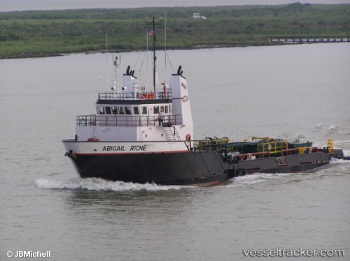
Vessel Go Liberty IMO: 9555761, MMSI: 368076650 Offshore Tug Supply Ship
UTC, 29.21755, -90.22098, course: 6, speed: 0
UTC, 29.21750, -90.22098, course: 5, speed: 0
2026-02-13 04:02:26 UTC, 29.21752, -90.22100, course: 5, speed: 0
Live AIS position:
UTC. Near LEEVILLE),
updated 2026-02-13 04:02:26 UTC.
Find the position of the vessel Go Liberty on the map. The latter are known coordinates and path.
marine traffic ship tracker show on live map
The current position of vessel Go Liberty is 29.21752 lat / -90.22100 lng. Updated: 2026-02-13 04:02:26 UTCDetails:
Last coordinates of the vessel:
UTC, 29.21755, -90.22100, course: 5, speed: 0UTC, 29.21755, -90.22098, course: 6, speed: 0
UTC, 29.21750, -90.22098, course: 5, speed: 0
2026-02-13 04:02:26 UTC, 29.21752, -90.22100, course: 5, speed: 0