 vesseltracker.com
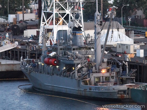
Vessel Salvor IMO: 8434374, MMSI: 369901000 Service Ship
Live Vessel Salvor Analytics (details, animations, etc.)
Live AIS position: UTC. Near GRANDE ISLAND), updated 2026-03-05 06:09:32 UTC.Find the position of the vessel Salvor on the map. The latter are known coordinates and path.
marine traffic ship tracker show on live map
The current position of vessel Salvor is 14.81333 lat / 120.28333 lng. Updated: 2026-03-05 06:09:32 UTCDetails:
Last coordinates of the vessel:
2026-03-05 06:09:32 UTC, 14.81333, 120.28333, course: -1, speed: 0