 vesseltracker.com
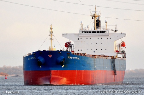
Vessel THE GIVER IMO: 9310537, MMSI: 370117000 Bulk Carrier
UTC, 55.96741, 139.37836, course: 279, speed: 0.2
UTC, 55.96755, 139.39453, course: 278, speed: 0.3
2026-02-27 05:39:49 UTC, 55.96814, 139.41463, course: 278, speed: 0.2
Live AIS position:
UTC. 177 nm N of Nikolayevsk-Na-Amure),
updated 2026-02-27 05:39:49 UTC.
Find the position of the vessel THE GIVER on the map. The latter are known coordinates and path.
marine traffic ship tracker show on live map
The current position of vessel THE GIVER is 55.96814 lat / 139.41463 lng. Updated: 2026-02-27 05:39:49 UTCCurrently sailing under the flag of Panama
THE GIVER built in 2006 year
Deadweight:
75726 tDetails:
Last coordinates of the vessel:
UTC, 55.97241, 139.37280, course: 280, speed: 0.2UTC, 55.96741, 139.37836, course: 279, speed: 0.2
UTC, 55.96755, 139.39453, course: 278, speed: 0.3
2026-02-27 05:39:49 UTC, 55.96814, 139.41463, course: 278, speed: 0.2