 vesseltracker.com
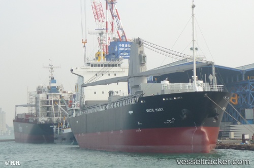
Vessel White Mary IMO: 9589994, MMSI: 370220000 General Cargo Ship
UTC, 4.86500, 118.74500, course: -1, speed: 12
UTC, 4.82500, 118.35500, course: -1, speed: 12
2026-03-25 00:07:51 UTC, 4.71833, 118.28333, course: -1, speed: 0
Live Vessel White Mary Analytics (details, animations, etc.)
Live AIS position: UTC. Near KUNAK), updated 2026-03-25 00:07:51 UTC.Find the position of the vessel White Mary on the map. The latter are known coordinates and path.
marine traffic ship tracker show on live map
The current position of vessel White Mary is 4.71833 lat / 118.28333 lng. Updated: 2026-03-25 00:07:51 UTCCurrently sailing under the flag of Panama
White Mary built in 2010 year
Deadweight:
8955 tDetails:
Last coordinates of the vessel:
UTC, 5.00667, 119.17667, course: -1, speed: 12UTC, 4.86500, 118.74500, course: -1, speed: 12
UTC, 4.82500, 118.35500, course: -1, speed: 12
2026-03-25 00:07:51 UTC, 4.71833, 118.28333, course: -1, speed: 0