 vesseltracker.com
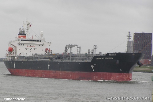
 CHEMROAD POLARIS
Current Status
Where is the vessel?
CHEMROAD POLARIS is currently in 81 nm SE of Maspalomas, based on AIS data received about 2h ago.
Latest AIS update:
Current position: 26.54593° N, 14.87614° W (81 nm SE of Maspalomas)
Average speed (last 7 days): Loading…
Average speed (last 30 days): Loading…
Vessel profile: CHEMROAD POLARIS is a Chemical/Oil Products Tanker with dimensions 179m x 29m.
This page combines live AIS, route history, probable destination signals, nearby traffic, and port activity for practical vessel monitoring.
The current position of vessel CHEMROAD POLARIS is 26.54593 lat / -14.87614 lng. Updated: 2026-03-25 16:10:01 UTCNearest reference points:
- 33 nm SE of San Agustin
- Near TALIARTE
- Near Aaiun
Currently sailing under the flag of Panama ![]()
CHEMROAD POLARIS built in 2014 year
Deadweight:
35923 tDetails:
Live Vessel CHEMROAD POLARIS Analytics (details, animations, etc.)
Recent AIS points (UTC):
2026-03-25 09:36:15 UTC · 27.66887, -13.81707 · SOG 14.6 kn · COG 228°2026-03-25 11:37:22 UTC · 27.31388, -14.16102 · SOG 13.5 kn · COG 221°
2026-03-25 13:33:34 UTC · 26.97071, -14.44522 · SOG 13.3 kn · COG 222°
2026-03-25 16:10:01 UTC · 26.54593, -14.87614 · SOG 13 kn · COG 226°