 vesseltracker.com
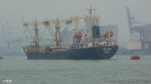
Vessel Sally M IMO: 9152844, MMSI: 370998000 Bulk Carrier
UTC, 31.14227, 29.80258, course: -1, speed: 0
UTC, 31.14227, 29.80257, course: -1, speed: 0
2026-01-19 22:26:00 UTC, 31.14228, 29.80255, course: -1, speed: 0
Live AIS position:
UTC. Near EL DEKHEILA),
updated 2026-01-19 22:26:00 UTC.
Find the position of the vessel Sally M on the map. The latter are known coordinates and path.
marine traffic ship tracker show on live map
The current position of vessel Sally M is 31.14228 lat / 29.80255 lng. Updated: 2026-01-19 22:26:00 UTCDetails:
Last coordinates of the vessel:
UTC, 31.14228, 29.80260, course: -1, speed: 0UTC, 31.14227, 29.80258, course: -1, speed: 0
UTC, 31.14227, 29.80257, course: -1, speed: 0
2026-01-19 22:26:00 UTC, 31.14228, 29.80255, course: -1, speed: 0