 vesseltracker.com
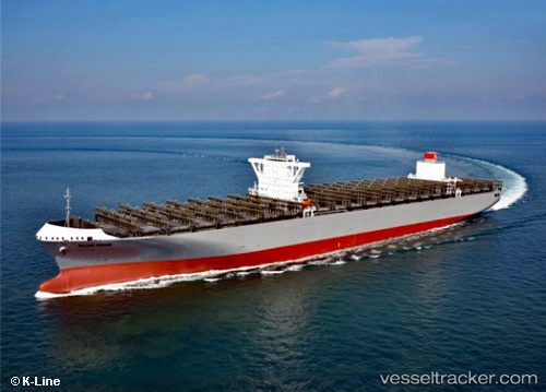
Vessel Milano Bridge IMO: 9757187, MMSI: 371076000 Container Ship
UTC, 37.20636, -72.72420, course: 126, speed: 11.1
UTC, 37.02895, -72.42757, course: 126, speed: 10.3
2026-02-17 07:56:08 UTC, 36.87956, -72.12810, course: 140, speed: 10.2
Live AIS position:
UTC. 166 nm SE of West Ocean City),
updated 2026-02-17 07:56:08 UTC.
Find the position of the vessel Milano Bridge on the map. The latter are known coordinates and path.
marine traffic ship tracker show on live map
The current position of vessel Milano Bridge is 36.87956 lat / -72.12810 lng. Updated: 2026-02-17 07:56:08 UTCDetails:
Last coordinates of the vessel:
UTC, 37.45801, -73.10175, course: 128, speed: 11.1UTC, 37.20636, -72.72420, course: 126, speed: 11.1
UTC, 37.02895, -72.42757, course: 126, speed: 10.3
2026-02-17 07:56:08 UTC, 36.87956, -72.12810, course: 140, speed: 10.2