 vesseltracker.com
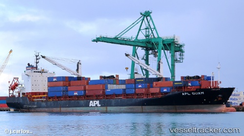
Vessel A HOUOU IMO: 9229609, MMSI: 371793000 Container Ship
UTC, 22.45332, 113.88525, course: 357, speed: 0
UTC, 22.45336, 113.88521, course: 357, speed: 0
2026-02-25 03:31:45 UTC, 22.45341, 113.88519, course: 357, speed: 0
Live AIS position:
UTC. Near Mawan Pt),
updated 2026-02-25 03:31:45 UTC.
Find the position of the vessel A HOUOU on the map. The latter are known coordinates and path.
marine traffic ship tracker show on live map
The current position of vessel A HOUOU is 22.45341 lat / 113.88519 lng. Updated: 2026-02-25 03:31:45 UTCCurrently sailing under the flag of Panama
A HOUOU built in 2001 year
Deadweight:
16400 tDetails:
Last coordinates of the vessel:
UTC, 22.45335, 113.88513, course: 358, speed: 0.2UTC, 22.45332, 113.88525, course: 357, speed: 0
UTC, 22.45336, 113.88521, course: 357, speed: 0
2026-02-25 03:31:45 UTC, 22.45341, 113.88519, course: 357, speed: 0