 vesseltracker.com
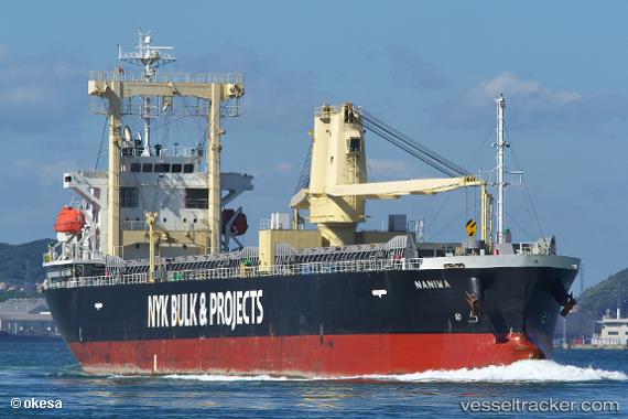
Vessel Naniwa IMO: 9675327, MMSI: 372728000 General Cargo Ship
UTC, 22.65826, 124.52912, course: 38, speed: 9.8
UTC, 24.18772, 126.05823, course: 40, speed: 7.9
2026-03-03 09:27:20 UTC, 24.46450, 126.32982, course: -1, speed: 8
Live AIS position:
UTC. 59 nm E of Miyakojima),
updated 2026-03-03 09:27:20 UTC.
Find the position of the vessel Naniwa on the map. The latter are known coordinates and path.
marine traffic ship tracker show on live map
The current position of vessel Naniwa is 24.46450 lat / 126.32982 lng. Updated: 2026-03-03 09:27:20 UTCDetails:
Last coordinates of the vessel:
UTC, 22.65826, 124.52912, course: 38, speed: 9.8UTC, 22.65826, 124.52912, course: 38, speed: 9.8
UTC, 24.18772, 126.05823, course: 40, speed: 7.9
2026-03-03 09:27:20 UTC, 24.46450, 126.32982, course: -1, speed: 8