 vesseltracker.com
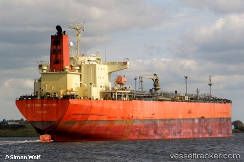
Georgia M
Current StatusWhere is the vessel?
Georgia M is currently in 251 nm SW of Positra, based on AIS data received less than 1h ago.
Latest AIS update:
Current position: 19.26682° N, 66.21738° E (251 nm SW of Positra)
Average speed (last 7 days): Loading…
Average speed (last 30 days): Loading…
Vessel profile: Georgia M is a Oil Products Tanker with dimensions 32m x 228m.
This page combines live AIS, route history, probable destination signals, nearby traffic, and port activity for practical vessel monitoring.
The current position of vessel Georgia M is 19.26682 lat / 66.21738 lng. Updated: 2026-04-16 15:52:54 UTCNearest reference points:
- 231 nm SW of Keti Bandar
- 236 nm SW of Veraval
Details:
Live Vessel Georgia M Analytics (details, animations, etc.)
Recent AIS points (UTC):
2026-04-16 10:26:04 UTC · 19.22482, 66.21087 · SOG 0.4 kn · COG 19°2026-04-16 11:43:04 UTC · 19.23308, 66.20690 · SOG 0.4 kn · COG 18°
2026-04-16 13:33:04 UTC · 19.24877, 66.20862 · SOG 0.5 kn · COG 27°
2026-04-16 15:52:54 UTC · 19.26682, 66.21738 · SOG 0.3 kn · COG 41°