 vesseltracker.com
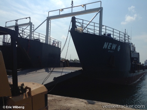
Vessel New G IMO: 9755103, MMSI: 373022000 Landing Craft
UTC, 24.47004, -76.82475, course: -1, speed: 10.1
UTC, 24.22799, -76.56155, course: -1, speed: 10.1
2026-02-13 22:00:17 UTC, 24.10758, -76.41100, course: -1, speed: 0
Live AIS position:
UTC. 22 nm NW of Bock Cay),
updated 2026-02-13 22:00:17 UTC.
Find the position of the vessel New G on the map. The latter are known coordinates and path.
marine traffic ship tracker show on live map
The current position of vessel New G is 24.10758 lat / -76.41100 lng. Updated: 2026-02-13 22:00:17 UTCDetails:
Last coordinates of the vessel:
UTC, 24.73017, -77.01127, course: -1, speed: 9.7UTC, 24.47004, -76.82475, course: -1, speed: 10.1
UTC, 24.22799, -76.56155, course: -1, speed: 10.1
2026-02-13 22:00:17 UTC, 24.10758, -76.41100, course: -1, speed: 0