 vesseltracker.com
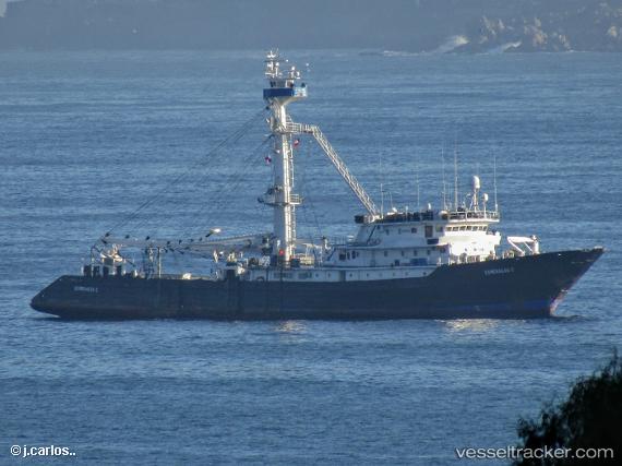
Vessel Almirante 1 IMO: 7409164, MMSI: 373391000 Fishing Vessel
UTC, -0.93212, -80.70699, course: 354, speed: 0.1
UTC, -0.93228, -80.70712, course: 13, speed: 0
2026-03-03 07:51:59 UTC, -0.93209, -80.70759, course: 51, speed: 0.1
Live AIS position:
UTC. Near MANTA),
updated 2026-03-03 07:51:59 UTC.
Find the position of the vessel Almirante 1 on the map. The latter are known coordinates and path.
marine traffic ship tracker show on live map
The current position of vessel Almirante 1 is -0.93209 lat / -80.70759 lng. Updated: 2026-03-03 07:51:59 UTCDetails:
Last coordinates of the vessel:
UTC, -0.93224, -80.70716, course: 8, speed: 0.1UTC, -0.93212, -80.70699, course: 354, speed: 0.1
UTC, -0.93228, -80.70712, course: 13, speed: 0
2026-03-03 07:51:59 UTC, -0.93209, -80.70759, course: 51, speed: 0.1