 vesseltracker.com
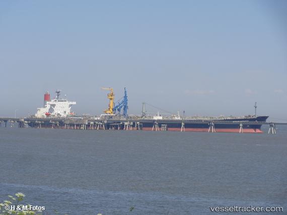
Vessel Aframax Riviera IMO: 9282912, MMSI: 373638000 Crude Oil Tanker
UTC, 1.59876, 102.86421, course: 122, speed: 10.1
UTC, 1.52239, 102.98327, course: 123, speed: 10.2
2026-01-15 20:28:04 UTC, 1.45814, 103.08253, course: 123, speed: 10.4
Live AIS position:
UTC. 25 nm S of Parit Raja),
updated 2026-01-15 20:28:04 UTC.
Find the position of the vessel Aframax Riviera on the map. The latter are known coordinates and path.
marine traffic ship tracker show on live map
The current position of vessel Aframax Riviera is 1.45814 lat / 103.08253 lng. Updated: 2026-01-15 20:28:04 UTCCurrently sailing under the flag of Panama
Aframax Riviera built in 2005 year
Deadweight:
107113 tDetails:
Last coordinates of the vessel:
UTC, 1.67129, 102.71926, course: 117, speed: 9.8UTC, 1.59876, 102.86421, course: 122, speed: 10.1
UTC, 1.52239, 102.98327, course: 123, speed: 10.2
2026-01-15 20:28:04 UTC, 1.45814, 103.08253, course: 123, speed: 10.4