 vesseltracker.com
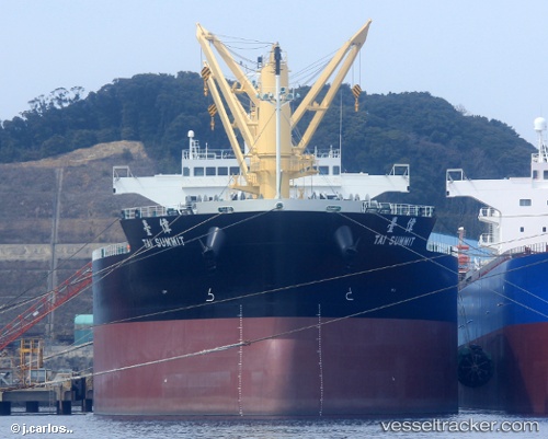
Tai Summit
Current StatusWhere is the vessel?
Tai Summit is currently in Near Deal Party, based on AIS data received about 2h ago.
Latest AIS update:
Current position: 33.90400° S, 25.67543° E (Near Deal Party)
Average speed (last 7 days): Loading…
Average speed (last 30 days): Loading…
Vessel profile: Tai Summit is a Bulk Carrier with dimensions 32m x 200m.
This page combines live AIS, route history, probable destination signals, nearby traffic, and port activity for practical vessel monitoring.
The current position of vessel Tai Summit is -33.90400 lat / 25.67543 lng. Updated: 2026-03-25 06:00:33 UTCNearest reference points:
- Near Deal Party
- 21 nm S of Mount Pleasant
Details:
Live Vessel Tai Summit Analytics (details, animations, etc.)
Recent AIS points (UTC):
2026-03-24 23:29:52 UTC · -33.93480, 25.66066 · SOG 7.9 kn · COG 65°2026-03-25 01:21:33 UTC · -33.90489, 25.67532 · SOG 0.1 kn · COG 87°
2026-03-25 04:06:32 UTC · -33.90438, 25.67534 · SOG 0.2 kn · COG 96°
2026-03-25 06:00:33 UTC · -33.90400, 25.67543 · SOG 0.2 kn · COG 103°