 vesseltracker.com
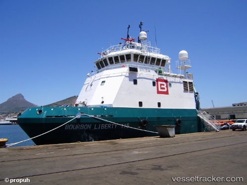
Vessel ALLIANZ LIBERTY IMO: 9564188, MMSI: 376145000 Offshore Supply Ship
UTC, 24.76500, 53.84833, course: -1, speed: 0
UTC, 24.76550, 53.84869, course: 326, speed: 0.2
2026-02-27 03:58:03 UTC, 24.77375, 53.78655, course: -1, speed: 6.5
Live AIS position:
UTC. 24 nm NE of Mubarraz Island),
updated 2026-02-27 03:58:03 UTC.
Find the position of the vessel ALLIANZ LIBERTY on the map. The latter are known coordinates and path.
marine traffic ship tracker show on live map
The current position of vessel ALLIANZ LIBERTY is 24.77375 lat / 53.78655 lng. Updated: 2026-02-27 03:58:03 UTCCurrently sailing under the flag of St Vincent and Grenadines
ALLIANZ LIBERTY built in 2009 year
Deadweight:
1533 tDetails:
Last coordinates of the vessel:
UTC, 24.76536, 53.84844, course: 340, speed: 0.1UTC, 24.76500, 53.84833, course: -1, speed: 0
UTC, 24.76550, 53.84869, course: 326, speed: 0.2
2026-02-27 03:58:03 UTC, 24.77375, 53.78655, course: -1, speed: 6.5