 vesseltracker.com
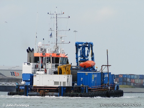
Vessel SILI GWER IMO: 9611539, MMSI: 376816000 Utility Vessel
UTC, -4.78656, 11.83433, course: -1, speed: 0
UTC, -4.78655, 11.83437, course: 181, speed: 0.1
2026-03-11 13:56:28 UTC, -4.78658, 11.83449, course: 180, speed: 0
Live Vessel SILI GWER Analytics (details, animations, etc.)
Live AIS position: UTC. Near Pointe Noire), updated 2026-03-11 13:56:28 UTC.Find the position of the vessel SILI GWER on the map. The latter are known coordinates and path.
marine traffic ship tracker show on live map
The current position of vessel SILI GWER is -4.78658 lat / 11.83449 lng. Updated: 2026-03-11 13:56:28 UTCCurrently sailing under the flag of St Vincent and Grenadines
SILI GWER built in 2011 year
Deadweight:
0 tDetails:
Last coordinates of the vessel:
UTC, -4.78656, 11.83440, course: 179, speed: 0UTC, -4.78656, 11.83433, course: -1, speed: 0
UTC, -4.78655, 11.83437, course: 181, speed: 0.1
2026-03-11 13:56:28 UTC, -4.78658, 11.83449, course: 180, speed: 0