 vesseltracker.com
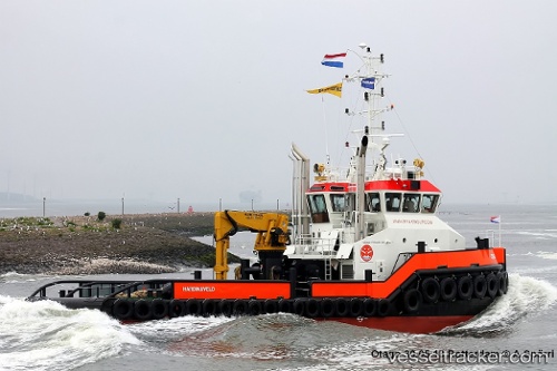
Vessel OTAGO IMO: 9688659, MMSI: 376995000 Tug
UTC, -41.28167, 174.00500, course: -1, speed: 0
UTC, -41.28240, 174.00513, course: 212, speed: 0
UTC, -41.28240, 174.00513, course: 212, speed: 0
2026-03-17 19:45:58 UTC, -41.28240, 174.00513, course: 212, speed: 0
Live Vessel OTAGO Analytics (details, animations, etc.)
Live AIS position: UTC. Near WAIKAWA), updated 2026-03-17 19:45:58 UTC.Find the position of the vessel OTAGO on the map. The latter are known coordinates and path.
marine traffic ship tracker show on live map
The current position of vessel OTAGO is -41.28240 lat / 174.00513 lng. Updated: 2026-03-17 19:45:58 UTCCurrently sailing under the flag of Saint Vincent and the Grenadines
Details:
Last coordinates of the vessel:
UTC, -41.28167, 174.00500, course: -1, speed: 0UTC, -41.28167, 174.00500, course: -1, speed: 0
UTC, -41.28240, 174.00513, course: 212, speed: 0
UTC, -41.28240, 174.00513, course: 212, speed: 0
2026-03-17 19:45:58 UTC, -41.28240, 174.00513, course: 212, speed: 0