 vesseltracker.com
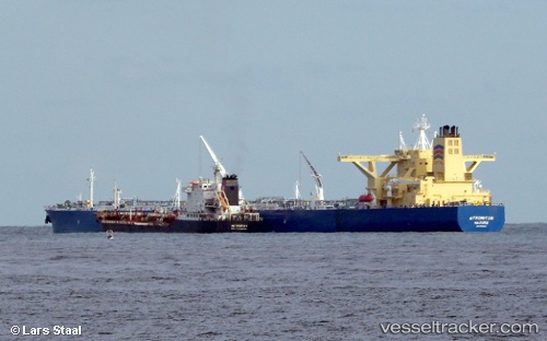
Vessel SALAM IMO: 9733818, MMSI: 403653000 Tanker
UTC, 11.10833, 70.21833, course: -1, speed: 11
UTC, 11.35833, 69.89167, course: -1, speed: 11
2026-02-25 16:31:17 UTC, 11.66541, 69.45381, course: 309, speed: 11.4
Live AIS position:
UTC. 125 nm NE of Tinaquillo),
updated 2026-02-25 16:31:17 UTC.
Find the position of the vessel SALAM on the map. The latter are known coordinates and path.
marine traffic ship tracker show on live map
The current position of vessel SALAM is 11.66541 lat / 69.45381 lng. Updated: 2026-02-25 16:31:17 UTCCurrently sailing under the flag of Saudi Arabia
Details:
Last coordinates of the vessel:
UTC, 10.89001, 70.50304, course: 309, speed: 10.8UTC, 11.10833, 70.21833, course: -1, speed: 11
UTC, 11.35833, 69.89167, course: -1, speed: 11
2026-02-25 16:31:17 UTC, 11.66541, 69.45381, course: 309, speed: 11.4