 vesseltracker.com
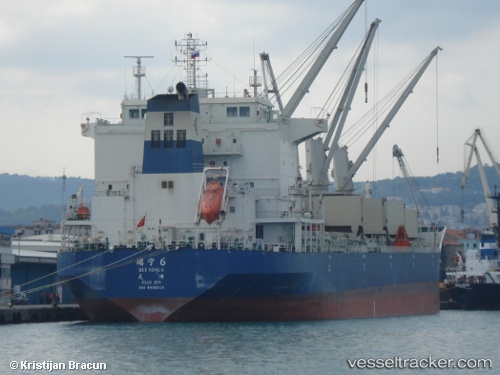
Vessel RUI NING 6 IMO: 9538323, MMSI: 412126000 Bulk Carrier
UTC, 41.98510, 141.66689, course: 174, speed: 1
UTC, 41.96159, 141.58684, course: 186, speed: 1.2
2026-02-26 19:59:28 UTC, 41.94705, 141.52510, course: 190, speed: 1.5
Live AIS position:
UTC. 33 nm SE of Muroran),
updated 2026-02-26 19:59:28 UTC.
Find the position of the vessel RUI NING 6 on the map. The latter are known coordinates and path.
marine traffic ship tracker show on live map
The current position of vessel RUI NING 6 is 41.94705 lat / 141.52510 lng. Updated: 2026-02-26 19:59:28 UTCCurrently sailing under the flag of China
Details:
Last coordinates of the vessel:
UTC, 41.99127, 141.68814, course: 144, speed: 0.4UTC, 41.98510, 141.66689, course: 174, speed: 1
UTC, 41.96159, 141.58684, course: 186, speed: 1.2
2026-02-26 19:59:28 UTC, 41.94705, 141.52510, course: 190, speed: 1.5