 vesseltracker.com
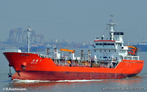
Vessel Dong Gui 9 IMO: 9599298, MMSI: 412502530 Chemical Oil Products Tanker
UTC, 22.75414, 116.06041, course: 76, speed: 7.6
UTC, 22.83663, 116.32381, course: 75, speed: 8.2
2026-02-19 01:59:21 UTC, 22.91087, 116.53391, course: 42, speed: 8.1
Live AIS position:
UTC. 15 nm SE of Jinghai),
updated 2026-02-19 01:59:21 UTC.
Find the position of the vessel Dong Gui 9 on the map. The latter are known coordinates and path.
marine traffic ship tracker show on live map
The current position of vessel Dong Gui 9 is 22.91087 lat / 116.53391 lng. Updated: 2026-02-19 01:59:21 UTCCurrently sailing under the flag of China
Details:
Last coordinates of the vessel:
UTC, 22.66769, 115.77149, course: 64, speed: 7.1UTC, 22.75414, 116.06041, course: 76, speed: 7.6
UTC, 22.83663, 116.32381, course: 75, speed: 8.2
2026-02-19 01:59:21 UTC, 22.91087, 116.53391, course: 42, speed: 8.1