 vesseltracker.com
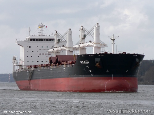
Vessel Bavand IMO: 9387798, MMSI: 422036700 Bulk Carrier
UTC, 27.01833, 56.29500, course: -1, speed: 12
UTC, 27.05213, 56.36366, course: 265, speed: 2.9
2026-03-05 12:15:15 UTC, 27.03861, 56.27388, course: 244, speed: 1.2
Live Vessel Bavand Analytics (details, animations, etc.)
Live AIS position: UTC. Near QUESHM), updated 2026-03-05 12:15:15 UTC.Find the position of the vessel Bavand on the map. The latter are known coordinates and path.
marine traffic ship tracker show on live map
The current position of vessel Bavand is 27.03861 lat / 56.27388 lng. Updated: 2026-03-05 12:15:15 UTCCurrently sailing under the flag of Iran
Bavand built in 2008 year
Deadweight:
53546 tDetails:
Last coordinates of the vessel:
UTC, 27.05833, 56.26167, course: -1, speed: 3UTC, 27.01833, 56.29500, course: -1, speed: 12
UTC, 27.05213, 56.36366, course: 265, speed: 2.9
2026-03-05 12:15:15 UTC, 27.03861, 56.27388, course: 244, speed: 1.2