 vesseltracker.com
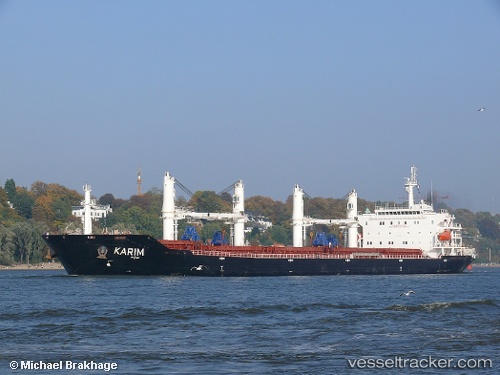
Vessel Kiazand IMO: 9465758, MMSI: 422040600 Bulk Carrier
UTC, 27.04095, 56.32924, course: 321, speed: 0
UTC, 27.04269, 56.32897, course: -1, speed: 0.2
2026-03-02 12:23:21 UTC, 27.04331, 56.32659, course: -1, speed: 0.1
Live AIS position:
UTC. Near QUESHM),
updated 2026-03-02 12:23:21 UTC.
Find the position of the vessel Kiazand on the map. The latter are known coordinates and path.
marine traffic ship tracker show on live map
The current position of vessel Kiazand is 27.04331 lat / 56.32659 lng. Updated: 2026-03-02 12:23:21 UTCDetails:
Last coordinates of the vessel:
UTC, 27.04037, 56.32688, course: 25, speed: 0.2UTC, 27.04095, 56.32924, course: 321, speed: 0
UTC, 27.04269, 56.32897, course: -1, speed: 0.2
2026-03-02 12:23:21 UTC, 27.04331, 56.32659, course: -1, speed: 0.1