 vesseltracker.com
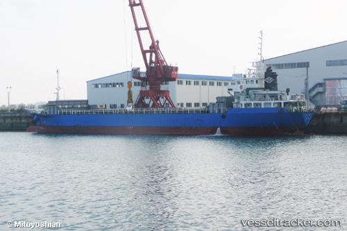
Hoju
Current StatusWhere is the vessel?
Hoju is currently in Near Nada-Ku, Hyogo, based on AIS data received about 2h ago.
Latest AIS update:
Current position: 34.69202° N, 135.21565° E (Near Nada-Ku, Hyogo)
Average speed (last 7 days): Loading…
Average speed (last 30 days): Loading…
Vessel profile: Hoju is a General Cargo Ship with dimensions 12m x 76m.
This page combines live AIS, route history, probable destination signals, nearby traffic, and port activity for practical vessel monitoring.
The current position of vessel Hoju is 34.69202 lat / 135.21565 lng. Updated: 2026-03-26 01:50:14 UTCNearest reference points:
- Near Kobe
- Near Nada-Ku, Hyogo
- Near Hyogo
Details:
Live Vessel Hoju Analytics (details, animations, etc.)
Recent AIS points (UTC):
2026-03-25 20:07:54 UTC · 34.69202, 135.21564 · SOG 0 kn · COG 129°2026-03-25 22:22:54 UTC · 34.69200, 135.21565 · SOG 0.1 kn · COG 130°
2026-03-25 23:27:03 UTC · 34.69197, 135.21562 · SOG 0.1 kn · COG 128°
2026-03-26 01:50:14 UTC · 34.69202, 135.21565 · SOG 0.1 kn · COG 129°