 vesseltracker.com
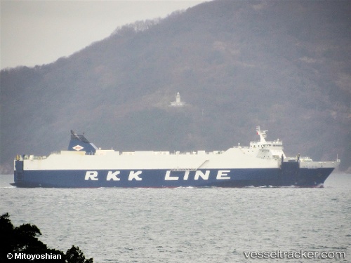
Vessel Niraikanai 2 IMO: 9816402, MMSI: 431010465 Vehicles Carrier
UTC, 33.47087, 134.47231, course: 218, speed: 20
UTC, 33.13420, 134.12160, course: 236, speed: 20.3
2026-03-21 17:02:31 UTC, 32.78366, 133.39915, course: 238, speed: 18.3
Live Vessel Niraikanai 2 Analytics (details, animations, etc.)
Live AIS position: UTC. 23 nm SE of Saga), updated 2026-03-21 17:02:31 UTC.Find the position of the vessel Niraikanai 2 on the map. The latter are known coordinates and path.
marine traffic ship tracker show on live map
The current position of vessel Niraikanai 2 is 32.78366 lat / 133.39915 lng. Updated: 2026-03-21 17:02:31 UTCCurrently sailing under the flag of Japan
Details:
Last coordinates of the vessel:
UTC, 33.82306, 134.84612, course: 211, speed: 19.1UTC, 33.47087, 134.47231, course: 218, speed: 20
UTC, 33.13420, 134.12160, course: 236, speed: 20.3
2026-03-21 17:02:31 UTC, 32.78366, 133.39915, course: 238, speed: 18.3