 vesseltracker.com
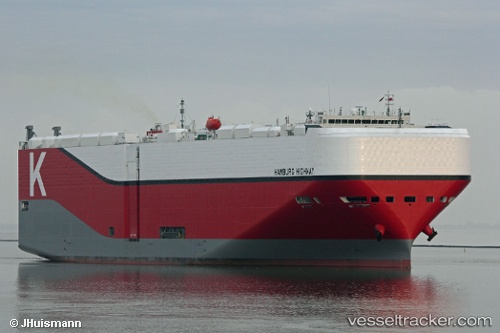
Vessel Hamburg Highway IMO: 9712644, MMSI: 431262000 Vehicles Carrier
UTC, 26.62333, 121.63667, course: -1, speed: 12
UTC, 26.92462, 121.78411, course: 9, speed: 12
2026-02-17 05:38:57 UTC, 27.34909, 121.91669, course: 14, speed: 13
Live AIS position:
UTC. 53 nm SE of Zhuangyuanao),
updated 2026-02-17 05:38:57 UTC.
Find the position of the vessel Hamburg Highway on the map. The latter are known coordinates and path.
marine traffic ship tracker show on live map
The current position of vessel Hamburg Highway is 27.34909 lat / 121.91669 lng. Updated: 2026-02-17 05:38:57 UTCDetails:
Last coordinates of the vessel:
UTC, 26.39167, 121.33500, course: -1, speed: 10UTC, 26.62333, 121.63667, course: -1, speed: 12
UTC, 26.92462, 121.78411, course: 9, speed: 12
2026-02-17 05:38:57 UTC, 27.34909, 121.91669, course: 14, speed: 13