 vesseltracker.com
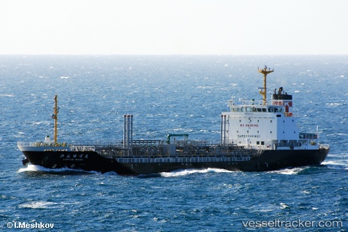
Vessel Kinyuumaru IMO: 9325257, MMSI: 431501802 Oil Products Tanker
Live Vessel Kinyuumaru Analytics (details, animations, etc.)
Live AIS position: UTC. 16 nm SW of Bullfrog Basin), updated 2026-01-16 18:24:22 UTC.Find the position of the vessel Kinyuumaru on the map. The latter are known coordinates and path.
marine traffic ship tracker show on live map
The current position of vessel Kinyuumaru is 37.32821 lat / -110.90268 lng. Updated: 2026-01-16 18:24:22 UTCDetails:
Last coordinates of the vessel:
2026-01-16 18:24:22 UTC, 37.32821, -110.90268, course: 192, speed: 67.9