 vesseltracker.com
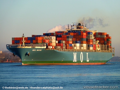
Vessel ONE MAXIM IMO: 9424936, MMSI: 431522000 Container Ship
UTC, -16.49065, -5.74262, course: 315, speed: 15.9
UTC, -15.63211, -6.59517, course: 317, speed: 16.4
2026-02-25 23:00:56 UTC, -15.43167, -6.80167, course: -1, speed: 16
Live AIS position:
UTC. 67 nm W of Levelwood),
updated 2026-02-25 23:00:56 UTC.
Find the position of the vessel ONE MAXIM on the map. The latter are known coordinates and path.
marine traffic ship tracker show on live map
The current position of vessel ONE MAXIM is -15.43167 lat / -6.80167 lng. Updated: 2026-02-25 23:00:56 UTCCurrently sailing under the flag of Japan
Details:
Last coordinates of the vessel:
UTC, -16.89333, -5.31667, course: -1, speed: 16UTC, -16.49065, -5.74262, course: 315, speed: 15.9
UTC, -15.63211, -6.59517, course: 317, speed: 16.4
2026-02-25 23:00:56 UTC, -15.43167, -6.80167, course: -1, speed: 16