 vesseltracker.com
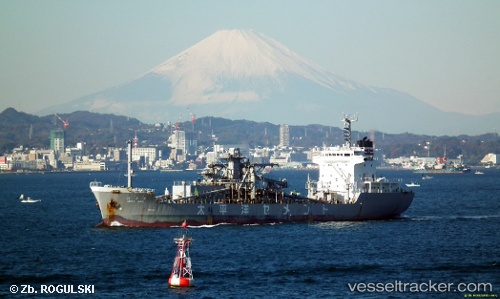
Vessel Senyo Maru IMO: 9070101, MMSI: 431600175 Cement Carrier
UTC, 37.29873, 138.03058, course: 40, speed: 10.5
UTC, 37.51767, 138.27579, course: 39, speed: 10.8
2026-03-19 10:16:49 UTC, 37.92182, 138.66508, course: 50, speed: 11.6
Live Vessel Senyo Maru Analytics (details, animations, etc.)
Live AIS position: UTC. 15 nm SE of Sado Shima Apt), updated 2026-03-19 10:16:49 UTC.Find the position of the vessel Senyo Maru on the map. The latter are known coordinates and path.
marine traffic ship tracker show on live map
The current position of vessel Senyo Maru is 37.92182 lat / 138.66508 lng. Updated: 2026-03-19 10:16:49 UTCDetails:
Last coordinates of the vessel:
UTC, 37.04098, 137.83847, course: 227, speed: 0.7UTC, 37.29873, 138.03058, course: 40, speed: 10.5
UTC, 37.51767, 138.27579, course: 39, speed: 10.8
2026-03-19 10:16:49 UTC, 37.92182, 138.66508, course: 50, speed: 11.6