 vesseltracker.com
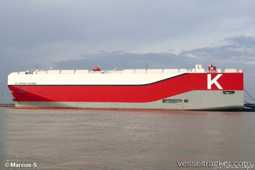
 Olympian Highway
Current Status
Where is the vessel?
Olympian Highway is currently in 29 nm E of Oluvil, based on AIS data received about 3h ago.
Latest AIS update:
Current position: 7.35298° N, 82.33807° E (29 nm E of Oluvil)
Average speed (last 7 days): Loading…
Average speed (last 30 days): Loading…
Vessel profile: Olympian Highway is a Vehicles Carrier with dimensions 199m x 38m.
This page combines live AIS, route history, probable destination signals, nearby traffic, and port activity for practical vessel monitoring.
The current position of vessel Olympian Highway is 7.35298 lat / 82.33807 lng. Updated: 2026-03-25 14:56:34 UTCNearest reference points:
- 67 nm E of Oluvil
- 42 nm E of Konwelana
- 40 nm E of Konwelana
Currently sailing under the flag of Japan ![]()
Details:
Live Vessel Olympian Highway Analytics (details, animations, etc.)
Recent AIS points (UTC):
2026-03-25 01:03:21 UTC · 10.77813, 81.23280 · SOG 15.2 kn · COG 163°2026-03-25 11:54:43 UTC · 8.08826, 82.08583 · SOG 15.8 kn · COG 162°
2026-03-25 11:54:43 UTC · 8.08826, 82.08583 · SOG 15.8 kn · COG 162°
2026-03-25 14:56:34 UTC · 7.35298, 82.33807 · SOG 15.5 kn · COG 170°