 vesseltracker.com
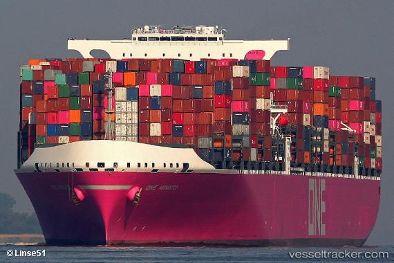
Vessel One Minato IMO: 9805477, MMSI: 431929000 Container Ship
UTC, 31.72792, -80.43652, course: 326, speed: 11.3
UTC, 31.88938, -80.49868, course: 252, speed: 0.2
2026-02-25 11:44:53 UTC, 31.88947, -80.49866, course: 252, speed: 0.1
Live AIS position:
UTC. 18 nm E of Tybee Island),
updated 2026-02-25 11:44:53 UTC.
Find the position of the vessel One Minato on the map. The latter are known coordinates and path.
marine traffic ship tracker show on live map
The current position of vessel One Minato is 31.88947 lat / -80.49866 lng. Updated: 2026-02-25 11:44:53 UTCCurrently sailing under the flag of Japan
Details:
Last coordinates of the vessel:
UTC, 31.39160, -80.20058, course: 316, speed: 11.7UTC, 31.72792, -80.43652, course: 326, speed: 11.3
UTC, 31.88938, -80.49868, course: 252, speed: 0.2
2026-02-25 11:44:53 UTC, 31.88947, -80.49866, course: 252, speed: 0.1