 vesseltracker.com
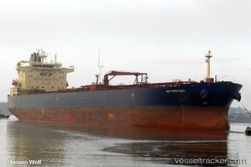
Vessel GARNET IMO: 9577094, MMSI: 461000264 Crude Oil Tanker
UTC, 31.62497, 32.36339, course: -1, speed: 0.2
UTC, 31.62585, 32.36376, course: -1, speed: 0.1
2026-02-25 18:07:37 UTC, 31.62578, 32.36354, course: 287, speed: 0.3
Live AIS position:
UTC. 22 nm N of Port Said),
updated 2026-02-25 18:07:37 UTC.
Find the position of the vessel GARNET on the map. The latter are known coordinates and path.
marine traffic ship tracker show on live map
The current position of vessel GARNET is 31.62578 lat / 32.36354 lng. Updated: 2026-02-25 18:07:37 UTCCurrently sailing under the flag of Oman
Details:
Last coordinates of the vessel:
UTC, 31.62558, 32.36354, course: -1, speed: 0UTC, 31.62497, 32.36339, course: -1, speed: 0.2
UTC, 31.62585, 32.36376, course: -1, speed: 0.1
2026-02-25 18:07:37 UTC, 31.62578, 32.36354, course: 287, speed: 0.3