 vesseltracker.com
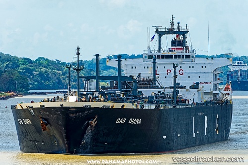
Vessel OCEAN RADIANCE IMO: 9194969, MMSI: 511101444 Lpg Tanker
UTC, 10.81300, 70.88694, course: 140, speed: 12.3
UTC, 10.81300, 70.88694, course: 140, speed: 12.3
2026-02-25 16:12:32 UTC, 10.81300, 70.88694, course: 140, speed: 12.3
Live AIS position:
UTC. 110 nm W of Amini Island),
updated 2026-02-25 16:12:32 UTC.
Find the position of the vessel OCEAN RADIANCE on the map. The latter are known coordinates and path.
marine traffic ship tracker show on live map
The current position of vessel OCEAN RADIANCE is 10.81300 lat / 70.88694 lng. Updated: 2026-02-25 16:12:32 UTCCurrently sailing under the flag of Palau
Details:
Last coordinates of the vessel:
UTC, 11.27336, 70.52420, course: 147, speed: 12.9UTC, 10.81300, 70.88694, course: 140, speed: 12.3
UTC, 10.81300, 70.88694, course: 140, speed: 12.3
2026-02-25 16:12:32 UTC, 10.81300, 70.88694, course: 140, speed: 12.3