 vesseltracker.com
 VAFAA M
Current Status
Where is the vessel?
VAFAA M is currently in 20 nm NW of Baba Point, based on AIS data received about 552d ago.
Latest AIS update:
Current position: 39.60090° N, 25.67891° E (20 nm NW of Baba Point)
Average speed (last 7 days): Loading…
Average speed (last 30 days): Loading…
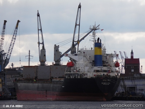
Vessel profile: VAFAA M is a General Cargo Ship with dimensions 26m x 160m.
This page combines live AIS, route history, probable destination signals, nearby traffic, and port activity for practical vessel monitoring.
The current position of vessel VAFAA M is 39.60090 lat / 25.67891 lng. Updated: 2024-09-18 11:15:19 UTCNearest reference points:
- 14 nm NW of Baba Point
- 14 nm SW of Bozcaada
- 16 nm NW of Sigri Lesvou
Currently sailing under the flag of Cook islands ![]()
VAFAA M built in 1997 year
Deadweight:
25008 tDetails:
Live Vessel VAFAA M Analytics (details, animations, etc.)
Recent AIS points (UTC):
2024-09-18 11:15:19 UTC · 39.60090, 25.67891 · SOG 10.8 kn · COG -1°