.
vessel BERTHA IMO: 9292163, Crude Oil Tanker vesseltracker.com
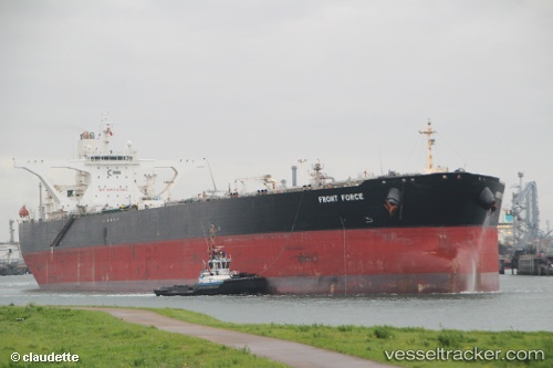
Vessel BERTHA IMO: 9292163, MMSI: 518999103 Crude Oil Tanker

callsign: 3E4038
size: 60x330

Live AIS position: UTC. Open sea (no nearby ports in database)), updated 2026-02-26 03:20:12 UTC.

Find the position of the vessel BERTHA on the map. The latter are known coordinates and path.

marine traffic ship tracker show on live map

The current position of vessel BERTHA is -15.44333 lat / 87.55500 lng. Updated: 2026-02-26 03:20:12 UTC

Currently sailing under the flag of Cook Islands

BERTHA built in 2004 year

Deadweight:
305442 t

Details:


Last coordinates of the vessel:
UTC, -15.77667, 86.90167, course: -1, speed: 7
UTC, -15.64972, 87.14821, course: 60, speed: 7.6
UTC, -15.51833, 87.40833, course: -1, speed: 7
2026-02-26 03:20:12 UTC, -15.44333, 87.55500, course: -1, speed: 7

Track of the vessel in the last 28 days


Most frequent ports a vessels calls at BERTHA (518999103):

Sambu, traffic: 17
Singapore, traffic: 9
Strait Of Gibraltar, traffic: 2
Az Zarqa Island, traffic: 2
Das Island, traffic: 2
Mutrah, traffic: 2
Sriracha, traffic: 2
Vancouver, traffic: 1
Algeciras, traffic: 1

Link to the map:


Find another ship

BERTHA (518999103) last ports (portcalls and passsages)

Vancouver | 2025-02-19 07:55:15
Singapore | 2024-02-23 07:54:30
Strait Of Gibraltar | 2023-09-06 08:21:02
Algeciras | 2023-09-05 06:16:05
Singapore | 2023-08-01 01:44:05
Sambu | 2023-07-30 02:56:43
Singapore | 2023-06-08 01:55:43
Strait Of Gibraltar | 2023-01-25 12:11:18
Sambu | 2022-04-06 06:41:39
Mutrah | 2022-02-06 18:43:30
Sriracha | 2022-01-14 08:19:33
Sambu | 2022-01-11 00:47:31
Sambu | 2022-01-11 00:45:25
Singapore | 2022-01-11 00:36:31
Singapore | 2022-01-10 23:55:35
Sambu | 2022-01-10 23:47:18
Das Island | 2021-12-27 04:30:02
Az Zarqa Island | 2021-12-25 12:04:06
Singapore | 2021-12-12 09:01:40
Sambu | 2021-12-09 23:45:29