 vesseltracker.com
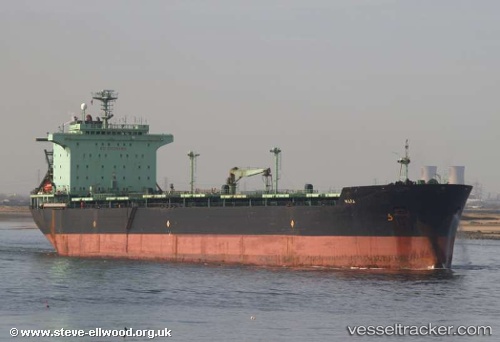
Mara
Current StatusLive Vessel Mara Analytics (details, animations, etc.)
Where is the vessel?
Mara is currently in Near Sekupang, based on AIS data received about 918d ago.
Latest AIS update:
Current position: 1.09785° N, 103.89021° E (Near Sekupang)
Vessel profile: Mara is a Bulk Carrier with dimensions 32m x 225m.
This page combines live AIS, route history, probable destination signals, nearby traffic, and port activity for practical vessel monitoring.
The current position of vessel Mara is 1.09785 lat / 103.89021 lng. Updated: 2023-09-19 04:51:27 UTCNearest reference points:
- Near Sekupang
- Near Sambu
- Near Batam Island
Details:
Last coordinates of the vessel:
2023-09-19 04:51:27 UTC, 1.09785, 103.89021, course: -1, speed: 0