 vesseltracker.com
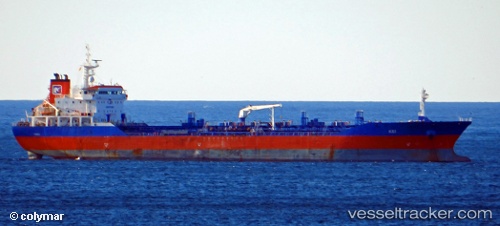
Vessel Kei IMO: 9475387, MMSI: 525020372 Oil Products Tanker
UTC, -6.76333, 111.95500, course: -1, speed: 0
UTC, -6.76333, 111.95500, course: -1, speed: 0
2026-02-28 01:37:41 UTC, -6.76333, 111.95500, course: -1, speed: 0
Live AIS position:
UTC. 13 nm NW of Palang),
updated 2026-02-28 01:37:41 UTC.
Find the position of the vessel Kei on the map. The latter are known coordinates and path.
marine traffic ship tracker show on live map
The current position of vessel Kei is -6.76333 lat / 111.95500 lng. Updated: 2026-02-28 01:37:41 UTCDetails:
Last coordinates of the vessel:
UTC, -6.76167, 111.95500, course: -1, speed: 0UTC, -6.76333, 111.95500, course: -1, speed: 0
UTC, -6.76333, 111.95500, course: -1, speed: 0
2026-02-28 01:37:41 UTC, -6.76333, 111.95500, course: -1, speed: 0