 vesseltracker.com
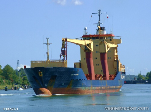
Vessel Saviour IMO: 9076325, MMSI: 525024119 General Cargo Ship
UTC, 1.29664, 97.61712, course: -1, speed: 0.1
UTC, 1.29682, 97.61693, course: -1, speed: 0.1
2026-01-15 11:11:41 UTC, 1.29716, 97.61724, course: -1, speed: 0
Live AIS position:
UTC. 13 nm NE of Pulau Nias),
updated 2026-01-15 11:11:41 UTC.
Find the position of the vessel Saviour on the map. The latter are known coordinates and path.
marine traffic ship tracker show on live map
The current position of vessel Saviour is 1.29716 lat / 97.61724 lng. Updated: 2026-01-15 11:11:41 UTCDetails:
Last coordinates of the vessel:
UTC, 1.29656, 97.61697, course: -1, speed: 0.2UTC, 1.29664, 97.61712, course: -1, speed: 0.1
UTC, 1.29682, 97.61693, course: -1, speed: 0.1
2026-01-15 11:11:41 UTC, 1.29716, 97.61724, course: -1, speed: 0