 vesseltracker.com
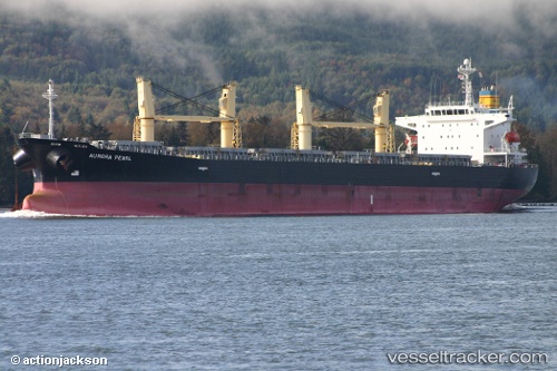
Vessel Aurora Christine IMO: 9214862, MMSI: 525100510 Bulk Carrier
UTC, -5.99177, 105.92510, course: -1, speed: 0.1
UTC, -5.99164, 105.92503, course: -1, speed: 0
2026-02-26 12:24:17 UTC, -5.99160, 105.92503, course: -1, speed: 0.1
Live AIS position:
UTC. Near CIWANDAN),
updated 2026-02-26 12:24:17 UTC.
Find the position of the vessel Aurora Christine on the map. The latter are known coordinates and path.
marine traffic ship tracker show on live map
The current position of vessel Aurora Christine is -5.99160 lat / 105.92503 lng. Updated: 2026-02-26 12:24:17 UTCDetails:
Last coordinates of the vessel:
UTC, -5.99314, 105.92527, course: -1, speed: 0.3UTC, -5.99177, 105.92510, course: -1, speed: 0.1
UTC, -5.99164, 105.92503, course: -1, speed: 0
2026-02-26 12:24:17 UTC, -5.99160, 105.92503, course: -1, speed: 0.1