 vesseltracker.com
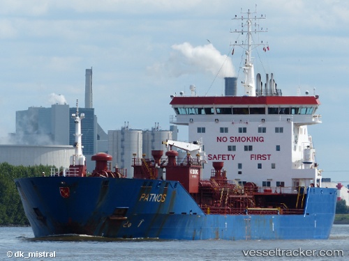
 HIGH STANDARD
Current Status
Where is the vessel?
HIGH STANDARD is currently in Near TANJUNG PELEPAS, based on AIS data received about 1h ago.
Latest AIS update:
Current position: 1.27845° N, 103.57702° E (Near TANJUNG PELEPAS)
Average speed (last 7 days): Loading…
Average speed (last 30 days): Loading…
Vessel profile: HIGH STANDARD is a Oil/Chemical Tanker with dimensions m x m.
This page combines live AIS, route history, probable destination signals, nearby traffic, and port activity for practical vessel monitoring.
The current position of vessel HIGH STANDARD is 1.27845 lat / 103.57702 lng. Updated: 2026-03-25 07:46:13 UTCNearest reference points:
- Near Tuas
- Near JURONG ISLAND
- Near Nipah
Currently sailing under the flag of Indonesia ![]()
Details:
Live Vessel HIGH STANDARD Analytics (details, animations, etc.)
Recent AIS points (UTC):
2026-03-25 02:09:03 UTC · 1.27635, 103.57550 · SOG 0 kn · COG 44°2026-03-25 04:03:03 UTC · 1.27623, 103.57610 · SOG 0.1 kn · COG 22°
2026-03-25 05:21:04 UTC · 1.27630, 103.57693 · SOG 0 kn · COG 329°
2026-03-25 07:46:13 UTC · 1.27845, 103.57702 · SOG 0 kn · COG 204°