 vesseltracker.com
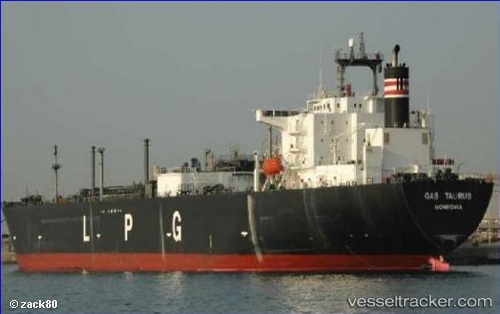
Vessel GAS QUILA IMO: 9710385, MMSI: 525110231 Tanker
UTC, -32.62623, 9.09153, course: 302, speed: 16.3
UTC, -32.23718, 8.38979, course: 302, speed: 16.7
2026-02-26 07:34:40 UTC, -32.05536, 8.08283, course: 295, speed: 16.6
Live AIS position:
UTC. Open sea, approx. 482 nm off the nearest listed port),
updated 2026-02-26 07:34:40 UTC.
Find the position of the vessel GAS QUILA on the map. The latter are known coordinates and path.
marine traffic ship tracker show on live map
The current position of vessel GAS QUILA is -32.05536 lat / 8.08283 lng. Updated: 2026-02-26 07:34:40 UTCCurrently sailing under the flag of Indonesia
Details:
Last coordinates of the vessel:
UTC, -32.74304, 9.58086, course: 275, speed: 15.6UTC, -32.62623, 9.09153, course: 302, speed: 16.3
UTC, -32.23718, 8.38979, course: 302, speed: 16.7
2026-02-26 07:34:40 UTC, -32.05536, 8.08283, course: 295, speed: 16.6