 vesseltracker.com
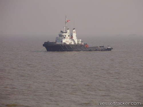
Vessel Teras Hydra IMO: 9531296, MMSI: 525119036 Tug
UTC, 17.57807, 119.63219, course: 355, speed: 5
UTC, 17.78183, 119.66324, course: 0, speed: 4.5
2026-02-27 11:44:21 UTC, 17.88919, 119.67953, course: 355, speed: 4.6
Live AIS position:
UTC. 43 nm W of Salomague),
updated 2026-02-27 11:44:21 UTC.
Find the position of the vessel Teras Hydra on the map. The latter are known coordinates and path.
marine traffic ship tracker show on live map
The current position of vessel Teras Hydra is 17.88919 lat / 119.67953 lng. Updated: 2026-02-27 11:44:21 UTCDetails:
Last coordinates of the vessel:
UTC, 17.40979, 119.61473, course: 350, speed: 4.9UTC, 17.57807, 119.63219, course: 355, speed: 5
UTC, 17.78183, 119.66324, course: 0, speed: 4.5
2026-02-27 11:44:21 UTC, 17.88919, 119.67953, course: 355, speed: 4.6