 vesseltracker.com
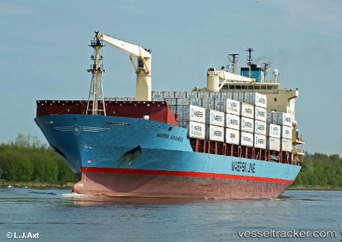
Vessel IFAMA MAS IMO: 9164251, MMSI: 525119190 Container Ship
UTC, 3.93561, 98.76690, course: 9, speed: 0
UTC, 3.93774, 98.76866, course: 248, speed: 0
2026-03-24 18:05:06 UTC, 3.93649, 98.76856, course: 293, speed: 0
Live Vessel IFAMA MAS Analytics (details, animations, etc.)
Live AIS position: UTC. 11 nm NE of Belawan), updated 2026-03-24 18:05:06 UTC.Find the position of the vessel IFAMA MAS on the map. The latter are known coordinates and path.
marine traffic ship tracker show on live map
The current position of vessel IFAMA MAS is 3.93649 lat / 98.76856 lng. Updated: 2026-03-24 18:05:06 UTCCurrently sailing under the flag of Indonesia
IFAMA MAS built in 1998 year
Deadweight:
17375 tDetails:
Last coordinates of the vessel:
UTC, 3.93560, 98.76700, course: 0, speed: 0UTC, 3.93561, 98.76690, course: 9, speed: 0
UTC, 3.93774, 98.76866, course: 248, speed: 0
2026-03-24 18:05:06 UTC, 3.93649, 98.76856, course: 293, speed: 0