 vesseltracker.com
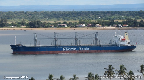
Vessel PORT ALFRED IMO: 9293868, MMSI: 525801752 Bulk Carrier
UTC, 0.49833, 108.87500, course: -1, speed: 0
UTC, 0.49833, 108.87500, course: -1, speed: 0
2026-03-24 23:54:49 UTC, 0.49833, 108.87500, course: -1, speed: 0
Live Vessel PORT ALFRED Analytics (details, animations, etc.)
Live AIS position: UTC. 42 nm NW of PONTIANAK), updated 2026-03-24 23:54:49 UTC.Find the position of the vessel PORT ALFRED on the map. The latter are known coordinates and path.
marine traffic ship tracker show on live map
The current position of vessel PORT ALFRED is 0.49833 lat / 108.87500 lng. Updated: 2026-03-24 23:54:49 UTCCurrently sailing under the flag of Indonesia
Details:
Last coordinates of the vessel:
UTC, 0.49833, 108.87500, course: -1, speed: 0UTC, 0.49833, 108.87500, course: -1, speed: 0
UTC, 0.49833, 108.87500, course: -1, speed: 0
2026-03-24 23:54:49 UTC, 0.49833, 108.87500, course: -1, speed: 0