 vesseltracker.com
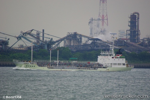
Vessel VINTARI IMO: 9341017, MMSI: 525901488 Bunkering Tanker
UTC, -10.19167, 123.50333, course: -1, speed: 0
UTC, -10.19333, 123.50333, course: -1, speed: 0
2026-03-06 04:26:07 UTC, -10.19333, 123.50333, course: -1, speed: 0
Live Vessel VINTARI Analytics (details, animations, etc.)
Live AIS position: UTC. Near KUPANG), updated 2026-03-06 04:26:07 UTC.Find the position of the vessel VINTARI on the map. The latter are known coordinates and path.
marine traffic ship tracker show on live map
The current position of vessel VINTARI is -10.19333 lat / 123.50333 lng. Updated: 2026-03-06 04:26:07 UTCCurrently sailing under the flag of Indonesia
Details:
Last coordinates of the vessel:
UTC, -10.19333, 123.50333, course: -1, speed: 0UTC, -10.19167, 123.50333, course: -1, speed: 0
UTC, -10.19333, 123.50333, course: -1, speed: 0
2026-03-06 04:26:07 UTC, -10.19333, 123.50333, course: -1, speed: 0