 vesseltracker.com
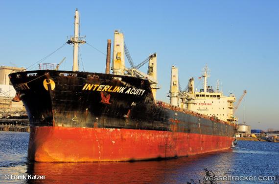
Vessel Interlink Acuity IMO: 9486582, MMSI: 538004177 Bulk Carrier
UTC, 29.93996, -90.36292, course: 288, speed: 0
UTC, 29.93997, -90.36298, course: 288, speed: 0
2026-03-24 16:20:58 UTC, 29.94002, -90.36290, course: -1, speed: 0
Live Vessel Interlink Acuity Analytics (details, animations, etc.)
Live AIS position: UTC. Near Saint Rose), updated 2026-03-24 16:20:58 UTC.Find the position of the vessel Interlink Acuity on the map. The latter are known coordinates and path.
marine traffic ship tracker show on live map
The current position of vessel Interlink Acuity is 29.94002 lat / -90.36290 lng. Updated: 2026-03-24 16:20:58 UTCDetails:
Last coordinates of the vessel:
UTC, 29.93998, -90.36297, course: 288, speed: 0UTC, 29.93996, -90.36292, course: 288, speed: 0
UTC, 29.93997, -90.36298, course: 288, speed: 0
2026-03-24 16:20:58 UTC, 29.94002, -90.36290, course: -1, speed: 0